I'm Walkin' In Brooklyn
I have lived in Brooklyn, NY, all my life. Born and raised here. My father, who lived through the Depression, used to walk all over with my brother and me. For instance, if we went to the Prospect Park Zoo, we'd walk up the slope to the park, and across the park, and down the hill to the back entrance by the elephants. I think I was an adult the first time I walked down those steps from Flatbush Ave.
I still like to walk, and in the past decade or so, I started walking more for exercise. However, I seemed to walk the same circuit of blocks near my house. I started traveling to Coney Island on summer mornings to walk the Boardwalk before it got to hot, or ventured over to the bottom of the Greenway in lower Manhattan.
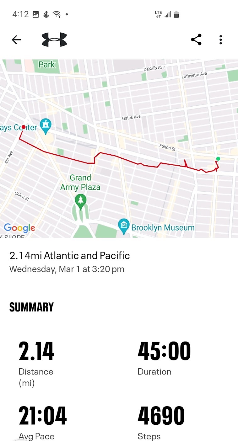
A little over a year ago, in May 2019, I decided that there was more of Brooklyn to see. I downloaded an app, and started tracking the streets I walked down on any given outing. I hit a few snags in my plan (personal issues and pandemics and such), but I still managed to log a lot of miles in the past year. See the image below. (Note: This did NOT come from the app. I update it using MS Paint. The individual colors mean nothing other than each one is a separate trip. Early on, I tried using different shades when I stopped for a while some place, but I gave that up.)
Occasionally, I took pictures. Now I'm at the point where I want to log some of the places I've gone, and some of the things I've seen. Particularly now, because Brooklyn is changing even more than it's changed since I grew up. (It was changing then, too, to be sure.)
My first thought was to name this blog something like Walkin' About Brooklyn, but the combinations of Walking/Walkin' and About/'Bout all seemed to be taken.
I finally went with Walkin' In Brooklyn. Works for me.
If you're still reading this, thank you for coming along on the walk with me.
| This shows the parts of Brooklyn I've walked in the past year, with the exception of Shirley Chisholm State Park, off to the right of the map. For the most part, they are grouped around job sites and my own neighborhood. Many have bus or train stations at the end. (Barclays is a big hub for connecting trains.) Missing would be places I walked before May 2019, particularly the waterfront in Bay Ridge and by the Brooklyn Bridge. I'll update this map online from time to time. |  |


Comments
Post a Comment