Side trip: Poughkeepsie


I read online about a pedestrian bridge over the Hudson River in Poughkeepsie, part of a much longer walkway, and I decided that this would be a summer Road Trip to get me out of the house. While I enjoy walking in Brooklyn, I still want to feel like I've gone places and done something in the summertime. Even if it's just walking.
I might a loop because a map suggested it -- probably not the best idea for reasons I'll get into later.
After that, I was off to Beacon for another walk and for something to eat. I had another stop planned but this took longer than exprected, which was fine. My goal was to fill a day, so better to have too much planned than not enough.
I didn't look into how much money (or time) the train would've been. It might've been cheaper but not likely faster than driving since I was traveling alone. However, I planned multiple stops.
That said, the one place that I knew I could park was the municipal lot outside the train station. From there, it took a couple of minutes to orient myself, and my app wasn't much of a help with the streets I was closest to. But I figured out how to get to the water and I didn't walk up the on-ramp to the interstate. Win-Win!
The first three pictures are the train station (with its bathrooms), the car bridge (the Mid-Hudson Bridge) and the pedestrian bridge (Hudson River Bridge Walk).


With no idea how to actually get to the bridge, I walked toward the Hudson River and into Victor C. Waryas Park, taking a picture of the flag pole and the monument.
The fact that there was road without a curb that went into the water didn't surprise me are much as the still wet tracks (on a hot August morning) coming out of the water. I have no idea what drove up on the land. My guess is that a truck of some kind drove a few feet from shore into shallow water and they drove back on land. I have no way to verify this or to disprove that it wasn't merpeople driving up onto land.
At some point I noticed the tower that looked like it could hold an elevator -- stairs would likely be out of the question. To get there, I had to cross a small stream, which the map says is Fall Kill. "Kill" is Dutch for stream, channel, or creek. Once across, I saw a pass to the elevator along with the sign proclaiming that it was open.


I took video, and I'll have to look for it and insert it here, of the elevator coming down to sea level (or ground level, at any rate). I wouldn't have guessed that it was human-operated. I'm happy that it was because then someone could handle questions and give tourist advice. And there's less of a chance of things going wrong.
Once on top, I couldn't believe the view. And then I stepped off the elevator and I couldn't believe the wind. I didn't wear a ball cap up there because I wouldn't have kept it. The wind didn't calm down until I was over land and there were trees on either side.
As you can see from the sign below, this bridge used to be used by the railroad. Unlike the High Line, on the west side of Manhattan, no artifact tracks exist on the walkway.
I took photos looking north and side ... and then down at that house. That's a big house. Looks big from up here.
Also, there are rail tracks, and I did film a little bit of a train going by. I'll have to look for that footage.


Here are those maps again to let me know where I'm going. I thought about going on the trail and then coming back, but I figured the loop would be better, in case I got tired before coming back to the car. Not the smart move.
I walked down to the FDR Mid-Hudson Bridge, which is primarily made for car traffic. There is a walkway, but not much of one. It's narrow to the point of claustrophobic even though you're out in the open. And I was able to pull anything out of my pocket because if something fell and took a bounce sideways, it'd be gone through the gaps!


The only place in town that I thought about visiting was, if I remember correctly, was a local bookstore. It was either late and I decided not to go, or it was early and not open yet. Or it might've been closed that day, or I might've been concerned about parking.
In any case, I drove down to Beacon to walk a trail and see a waterfall. And, of course, stop at the Pandorica.
Madame Brett Park runs alongside Fishkill Creek, which empties into the Hudson River. It's small, but it had a couple of places where you could walk down to the water. And it had a waterfall, which was the first thing I was looking for.


And, of course, I can't go to Beacon without stopping off at the Pandorica. It was a long day, so I treated myself to one of their specials, which got a little pricey, but totally worth it once in a while.
For those who don't know, the Pandorica gets its name for an object that appears in an episode of Doctor Who. It's an English style restaurant with Doctor Who theme. I helped myself to a pot of tea while I was there.


And that's it for this trip. Come back soon.
All of the above photos and videos, unless otherwise stated, were taken by Christopher J. Burke and are subject to copyright.
MY NEWEST BOOK IS AVAILABLE NOW!Burke's Lore Briefs: Yesterday's Villains, the following to Tomorrow's Heroes is now available on Amazon and Kindle Unlimited. If Heroes who don't die live long enough to become the villain, what happens to Villains who live long enough? When do schemes of global conquest become dreams of a quiet place away from all those annoying people you once wanted to subjugate? And does anyone really want to rule over the world's ashes if it means we can't have nice things? | 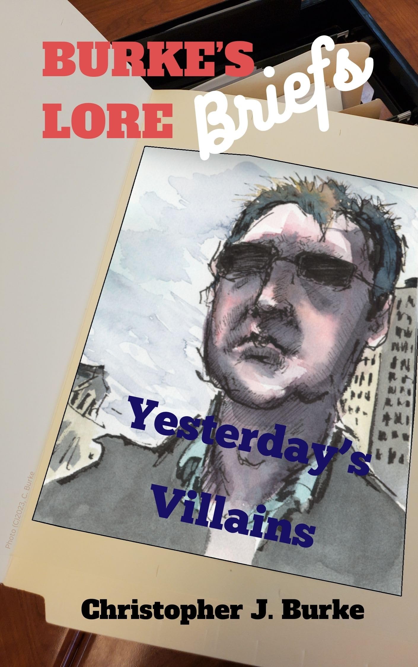 |
 |
|
My older books include three more books in my Burke's Lore Briefs series, and the anthologies A Bucket Full of Moonlight and In A Flash 2020. Vampires, werewolves, angels, demons, used-car salesmen, fairies, superheroes, space and time travel, and little gray aliens talking to rock creatures and living plants. Plus pirates, spies, horror, and kindergarten noir! If you enjoy my books, please consider leaving a rating or review on Amazon or on Good Reads. Thank you! |
 |
 |

|
 |
 |


Comments
Post a Comment